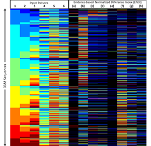
The GHSL framework aims to provide innovative spatial data mining technologies for the automatic processing, analytics and knowledge extraction from large amount of heterogeneous spatial data.
The tools developed and used by the GHSL to produce new global information that is contributing to new global findings together with our data mining technologies are openly documented and are freely available for the user and the scientific communities.
This policy aims to improve the reproducibility of the GHSL results, and their scientific and public test by independent parties. The free availability of the analytical tools aims to facilitate the exploitation of the research and development efforts made by the EC JRC, to decrease the information production cost, facilitate the information sharing, and to democratize the information production also in case of large and complex spatial data analytics scenarios.
A zipfile with training material to familiarise with each tool can be downloaded from within the Documentation and auxiliary files section of each of the tools that form the Degree of Urbanisation toolkit, that can be used to implement the Degree of Urbanisation.
The terms and conditions for using our tools can be found in the end user licence agreement.
Feel free to contact the GHSL tools support team for any necessity.